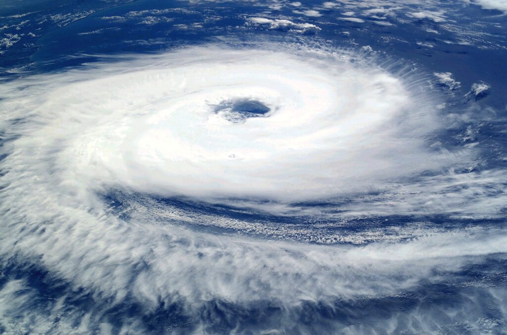
Helene has turned into a hurricane as of Wednesday
DORAL, FL – Helene became a category 1 hurricane Wednesday morning, and it will most likely turn into a category 3 hurricane when it enters the Gulf of Mexico in a few hours, forecasters predict.
Landfall is predicted for late Thursday or early Friday with a peak of 15 feet of storm surge above ground in the Big Bend area.
According to the Miami Herald, by Thursday morning, Helene will be nearest Tampa Bay, and its wind field is expected to be nearly 430 miles wide, and South Florida will probably experience the worst well into Thursday. The Keys will be the first place to feel Helene on Wednesday afternoon.
“Helene’s wind field will be so large that even passing 325 miles west of Miami on Thursday is not enough to keep the entire #Florida peninsula from being placed under a Tropical Storm Warning,” John Morales, hurricane specialist at NBC5, posted on Twitter Wednesday morning.
According to Gov. Ron DeSantis and state emergency officials, Helene is expected to impact nearly the entire state. Mandatory evacuations have been requested for at least 10 West Coast counties and voluntary or partial evacuations in several more.
To know whether to evacuate or not, the governor advises residents to listen to local officials. “If you don’t think they are making the right call in terms or not making [evacuation] calls that are broad enough, that does not prevent you from taking whatever action that you may deem necessary,” DeSantis said.
“All but three counties in the state of Florida are under some type of tropical storm, flood, storm surge or hurricane watch or warning at this point in time,” said Kevin Guthrie, the director of Florida’s Division of Emergency Management as reported by the Herald. “That’s 64 out of 67 counties that need to pay attention to their alerts starting today.”
“Hopefully there won’t be a big need, but we have all the agencies and all the assets on standby,” the governor said. “Everything from high water vehicles to riverine assets to rotary-wing aircraft. It is all there, and it will be deployed as needed.”
For more information, safety tips and emergency lines, click here.
Photo by: Pixabay.com